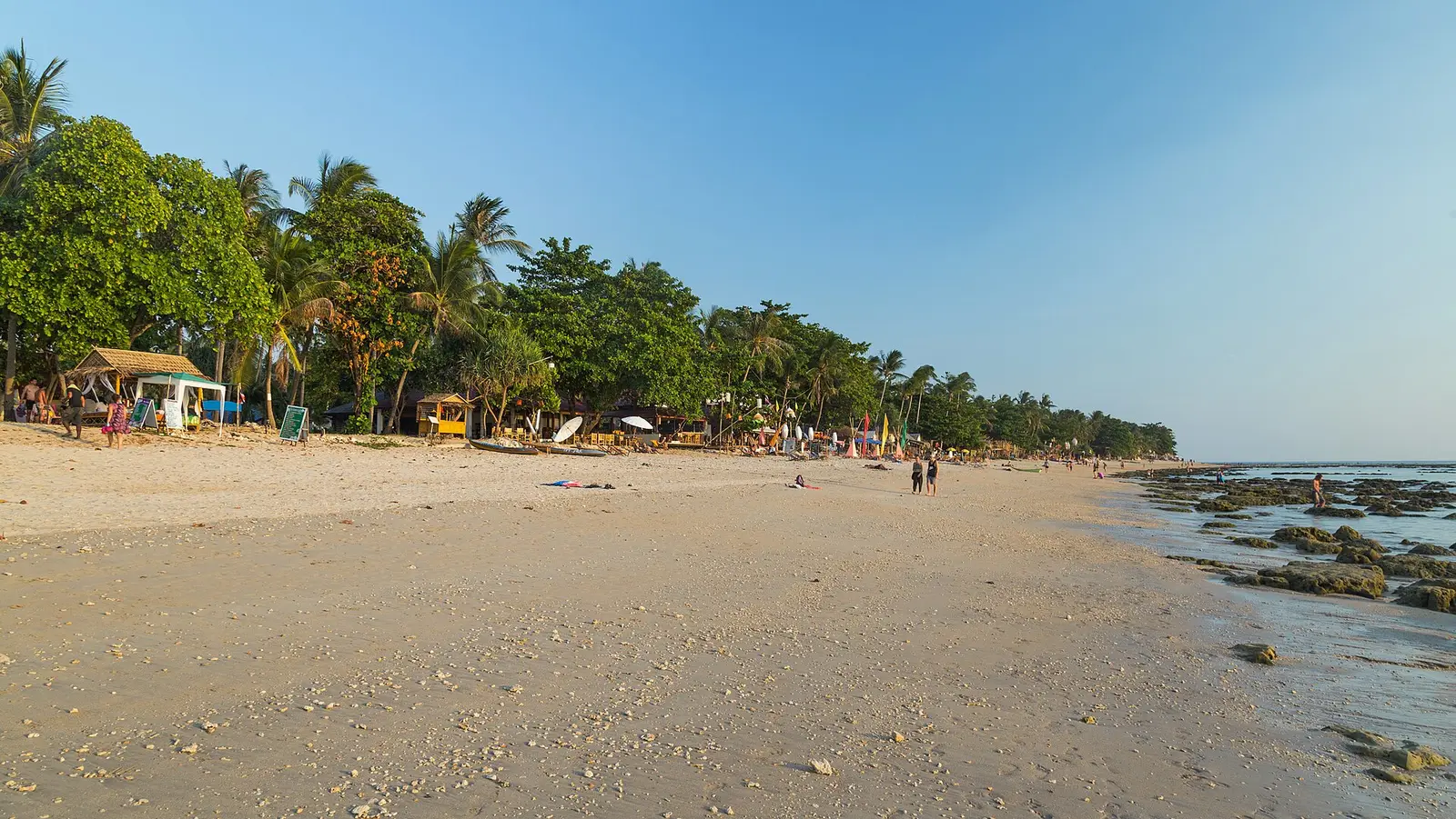
The six beaches side by side
All six face west onto the Andaman Sea. Distances are straight lines from the middle of each beach. The road is longer, and hilly to the south-west.
| Beach | Thai name | Length, end to end | To Saladan Pier | To Old Town pier |
|---|---|---|---|---|
| Klong Dao1 | หาดคลองดาว | About 2.0 km | 2.0 km | 13.6 km |
| Long Beach (Phra Ae)2 | หาดพระแอะ | About 2.9 km | 4.9 km | 10.8 km |
| Klong Khong3 | หาดคลองโขง | About 2.7 km | 8.4 km | 8.4 km |
| Klong Nin4 | หาดคลองนิน | About 2.4 km | 12.3 km | 5.5 km |
| Kantiang Bay5 | หาดบากันเตียง | About 0.9 km | 17.4 km | 4.9 km |
| Bamboo Bay6 | อ่าวไม้ไผ่ | About 0.7 km | 19.5 km | 6.0 km |
Which beach to stay on
- Klong Dao: nearest to Saladan’s shops and boat offices. Best for early boats and day trips.
- Long Beach (Phra Ae): the longest, about 2.9 km.
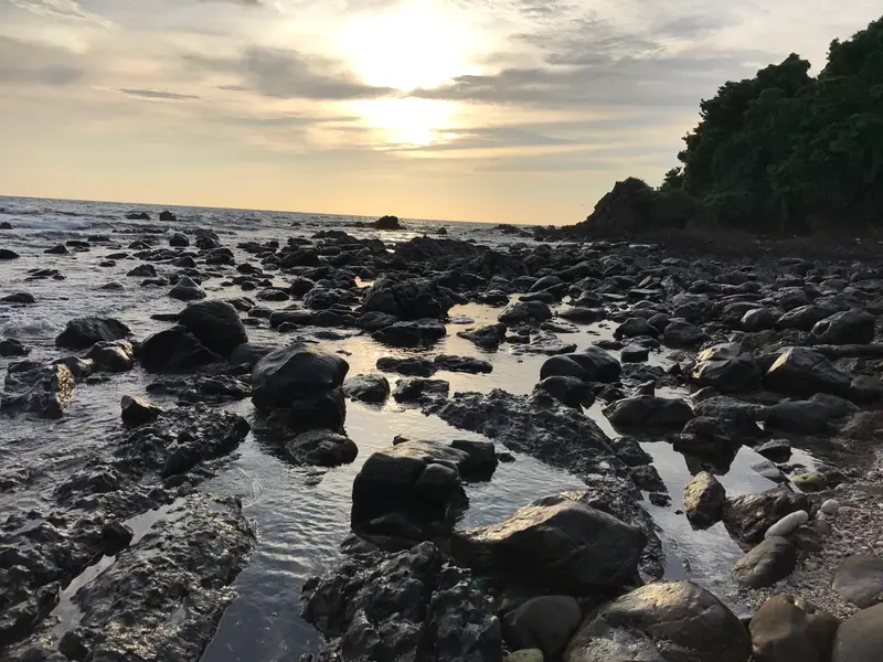
- Klong Khong: a rocky reef along the shore suits sunset more than swimming, per Wikivoyage (May 2016).
- Klong Nin: the northern part is better for swimming, per the same entry. 5.5 km from Old Town.
- Kantiang Bay and Bamboo Bay: short, enclosed bays near the national park. Bamboo Bay is 1.6 km from the lighthouse.
Map of beaches and piers
- Saladan Pier. Main pier for ferries and speedboats. source
- Hua Hin Pier (mainland). Mainland car-ferry pier for minivans and cars. source
- Lanta Noi car-ferry landing. Car ferry from Hua Hin Pier lands here. source
- Koh Lanta Pier (Old Town). East-coast pier at Lanta Old Town. source
- Klong Dao Beach. About 2 km; nearest beach to Saladan. source
- Long Beach (Phra Ae). Longest of the six, about 2.9 km. source
- Klong Khong Beach. About 2.7 km end to end. source
- Klong Nin Beach. About 2.4 km end to end. source
- Kantiang Bay (Ba Kan Tiang). About 0.9 km bay in the south-west. source
- Bamboo Bay (Ao Mai Phai). 0.7 km bay, 1.6 km from lighthouse. source
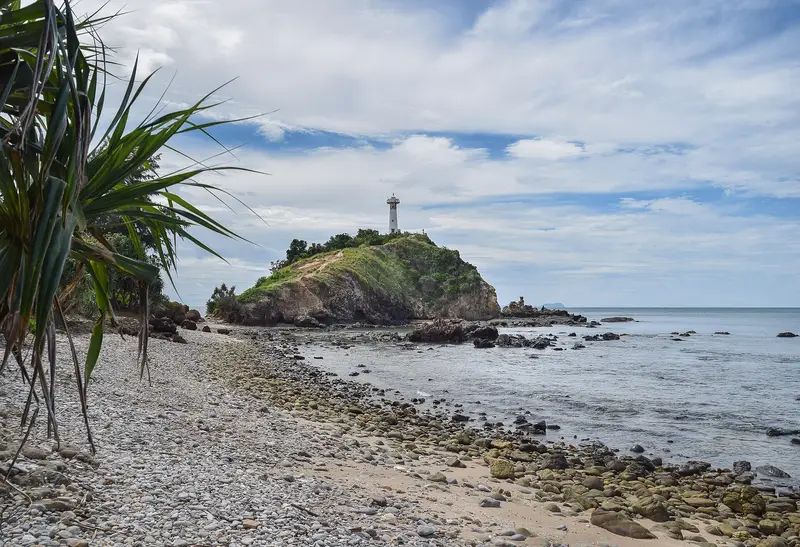
- Mu Ko Lanta National Park lighthouse. Lighthouse at Laem Tanod, by park headquarters. source
Map data © OpenStreetMap contributors (ODbL)